
NWS: Another 6-8 inches of snow could hit North Fork
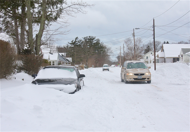
Less than a week after a blizzard dropped two feet of snow across the North Fork, another storm is headed to the area. The National Weather Service issued a Winter Storm Watch this morning that will be in effect from Sunday evening into Monday afternoon.
The storm, an area of low pressure that’s moving across the Ohio Valley, could drop between six to eight inches on the North Fork, according to Gary Conte of the National Weather Service station in Upton.
The storm could also bring a mix of freezing rain and sleet.
Mr. Conte said there’s still forecast uncertainty at this time. Areas to the west like Nassau County could see a few more inches of snow, between 8 and 10, Mr. Conte said.
Visibility will be limited during the storm, according to the winter storm watch, creating hazardous driving conditions. Winds are expected to be 15 to 25 miles per hour with gusts up to 35 mph.
Strong winds Friday evening into Saturday were creating snow drifts along certain roads on the North Fork like Sound Avenue. With snow piling up on the road in some spots, drivers are urged to use caution.


