Planners offer environmental concerns over subdivision proposed for Jamesport

Preliminary plans to subdivide nine acres of vacant land along Peconic Bay Boulevard in Jamesport have sparked some environmental concerns.
Peconic Farms LLC, which according to state records is owned by Emanuel Arturi of Mattituck, is currently seeking approval for what’s known as a yield map, which lays the framework for how many lots the property could ultimately be split into.
Town planning officials are urging Planning Board members to consider a host of environmental factors as they determine the final maximum yield.
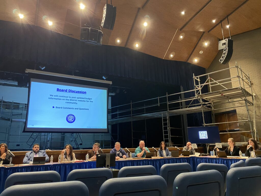
“We can’t just approve a yield map and then we’re beholden to… seven lots, eight lots, nine lots. You kind of tie your hands and you’re making a decision before you really analyze all the factors,” town planner Greg Bergman said during a meeting last Thursday.
The property is located between the town’s East Creek boat launch and Dougs Lane and has remained undeveloped despite its residential zoning.
According to Mr. Bergman, a “substantial” portion of the property is located within the flood zone, has shallow depth to groundwater and poses the threat of nitrogen loading directly into East Creek due to its proximity. It is also located in what’s considered an archaeologically sensitive area.
“We’ve never reviewed a subdivision since I’ve been here that’s got this unique set of circumstances regarding the development,” Mr. Bergman said, urging Planning Board members to look at the application “comprehensively.”
Traditionally, the Planning Board does not make a State Environmental Quality Review Act determination until later in the process.
Martin Finnegan, an attorney for the applicant, said he believes issuing a SEQRA determination — specifically a positive declaration that would warrant further environmental reviews — this early on, would be premature.
“You’re not approving a subdivision when you approve a yield. We know we have a lengthy process to proceed through and a lot of issues to discuss that could have an impact on what is ultimately built there,” Mr. Finnegan said, adding that revised maps and documents submitted last week address concerns about flooding and groundwater.
Mr. Finnegan also said he doesn’t believe archaeological concerns will be an issue.
“To stop us in our tracks at a yield map phase seems incredibly premature,” he said.
While it’s still unclear what the yield calculation will be, officials noted that a clustered subdivision plan could help preserve a portion of open space on the property.
The Planning Board is expected to discuss the application again at a future work session.


